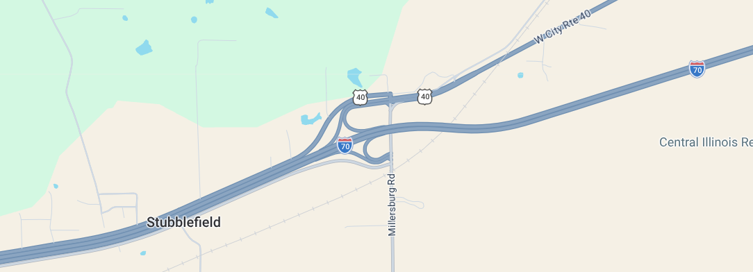
So here is a piece of history we knew nothing about. I can’t remember now where we were when we first got tipped off to this. Oh, I take that back. It was an informational highway sign, like those that look older and indicate you are on a Blue Star Memorial Highway. Have you had a chance to see one of those?
Any sign that looks historic, no matter how fleeting it is, catches our eye. A quick search and what a discovery. It was cool enough learning we were driving on it, essentially, as the US Route 40 (not to be confused with Interstate Highway 40, Gail) and also IH 70 align with the original route. If you like this sort of thing, read more here or here.
So imagine our surprise when we stepped onto the campus of Indiana State University in Terre Haute to explore and walked right into an outdoor interpretive area on the National Road. Having been an environmental educator and interpretive display creator in a previous life, I was really impressed. Great info that really told a story.
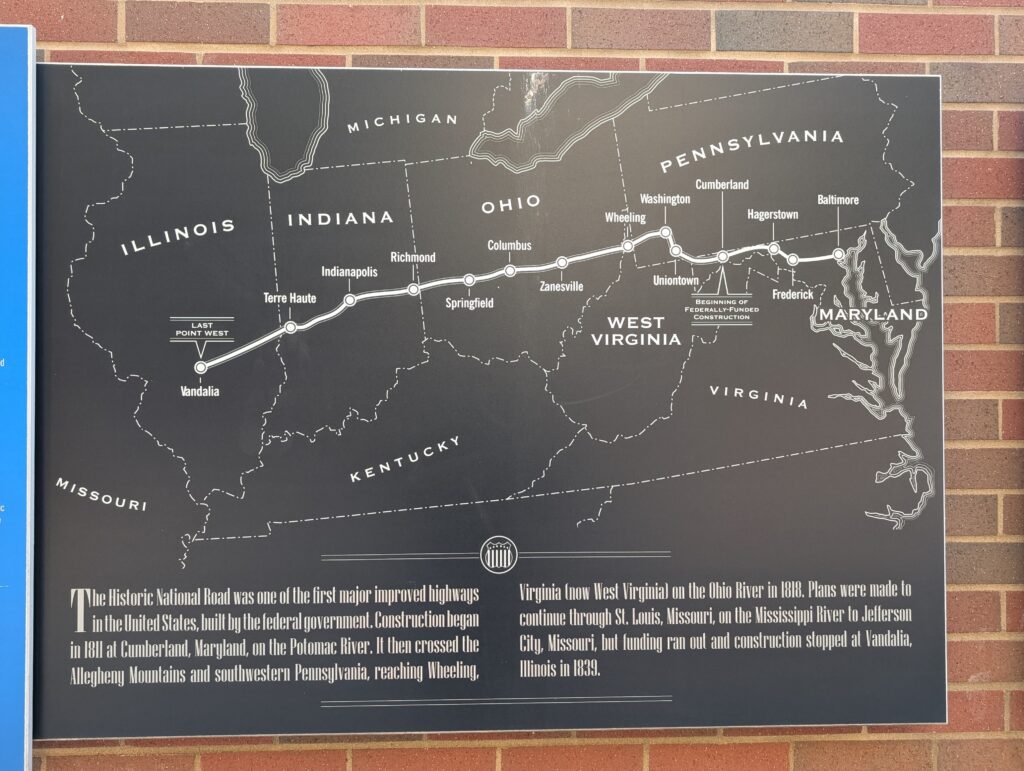
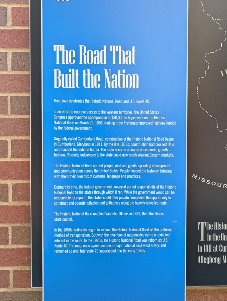
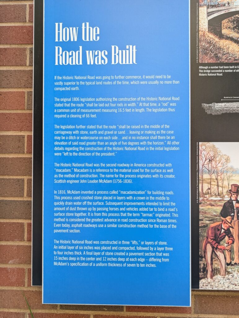
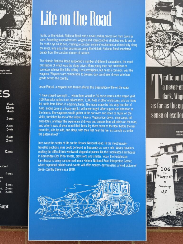
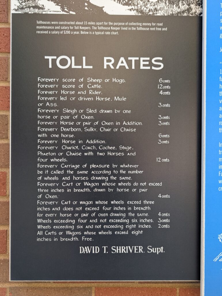
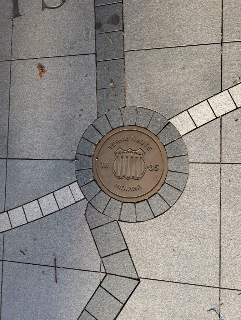
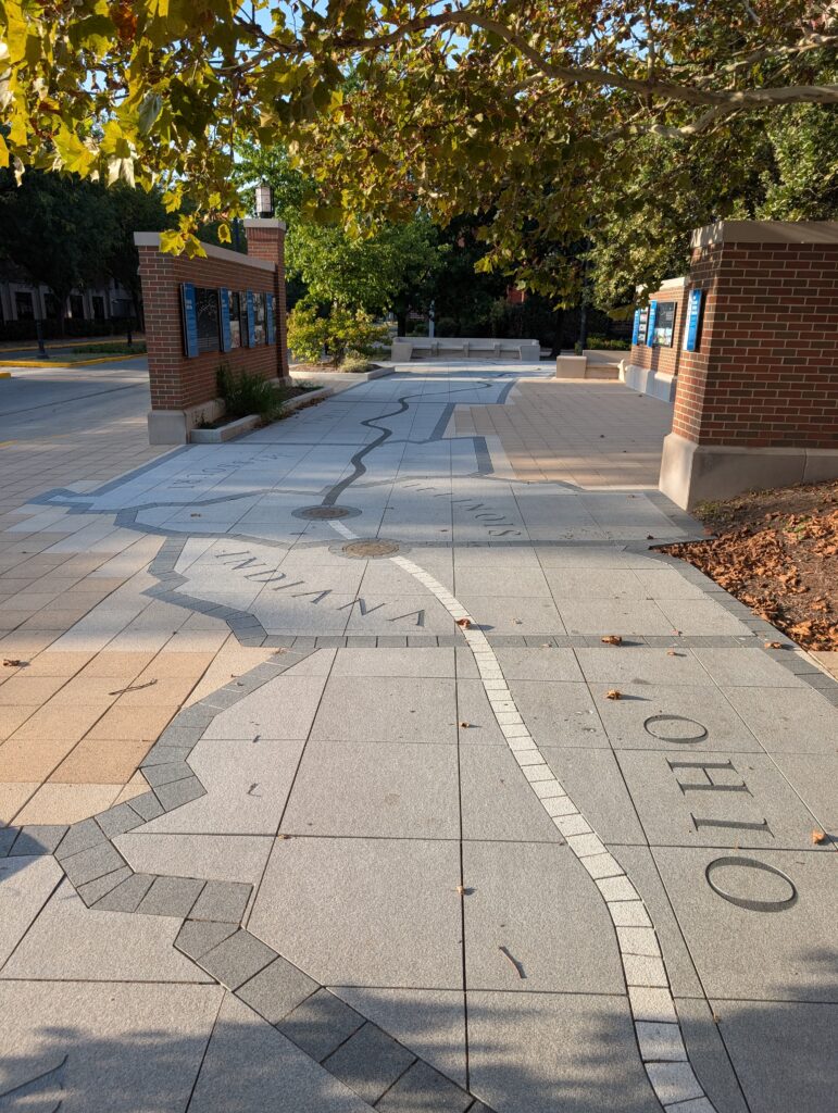
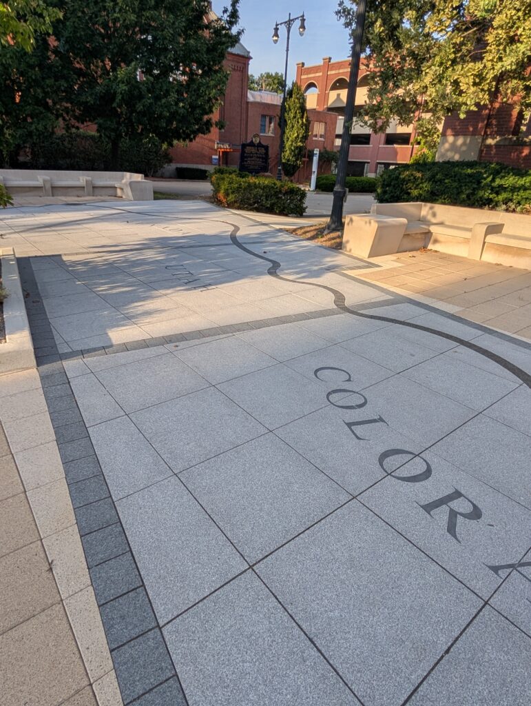
Inlaid into the wide sidewalk was a map that I desperately wanted to try and capture or at least give you a sense of. I don’t think I achieved that, but at least I was able to shine a light on the medallion for Terre Haute.
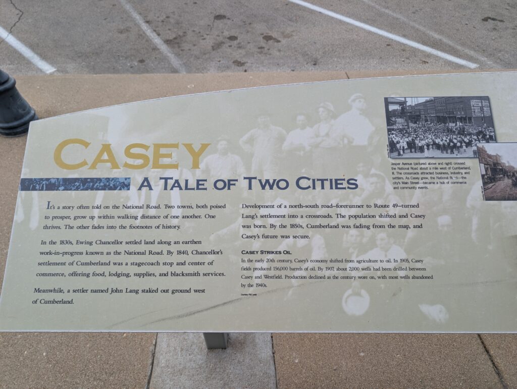
Funnily, in walking around Casey, Illinois, on our BIG adventure, we found Casey also celebrating its position on the road with a little history. Keep it coming!
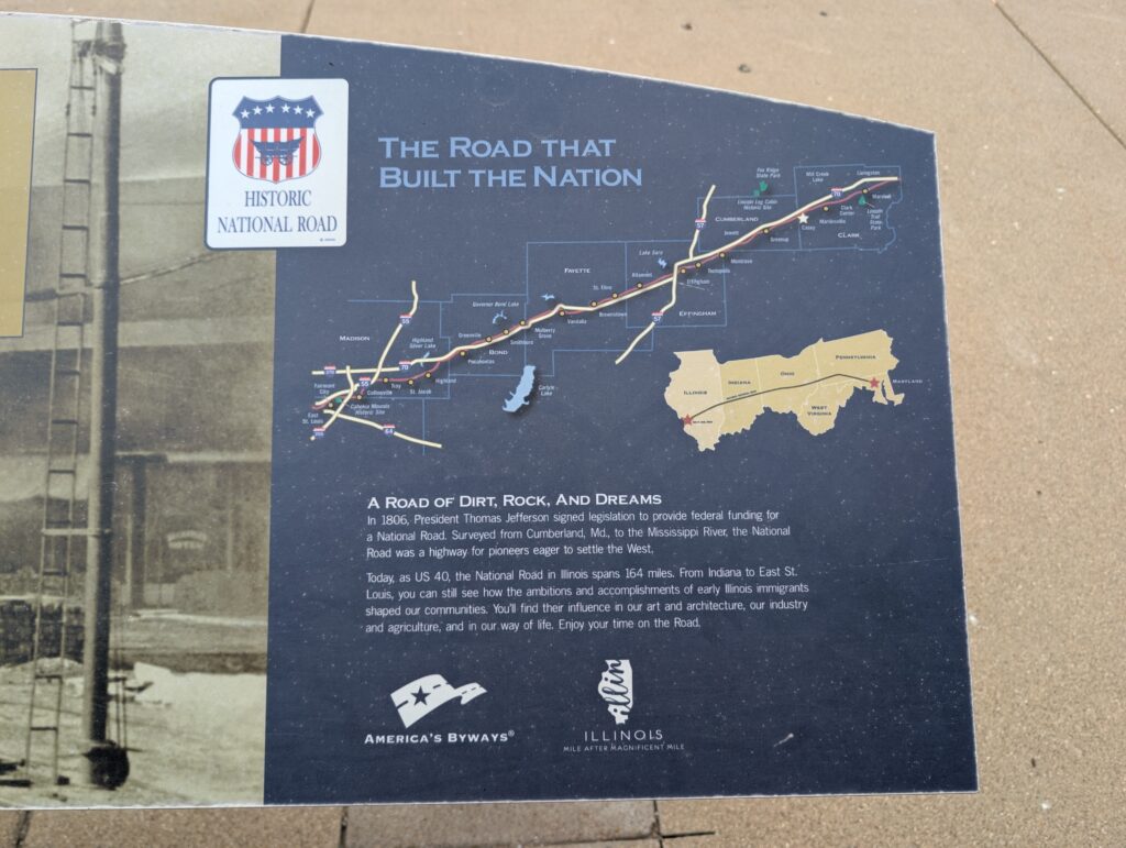
In researching this article I just discovered that we passed by Vandalia, Illinois, where you can find the National Road Interpretive Center. Note to self for a future road trip.